Latest news

Read more about our activities

Keynote and panel discussion at the University of Latvia’s 84th International Scientific Conference

Keynote and panel discussion at the University of Latvia’s 84th International Scientific Conference

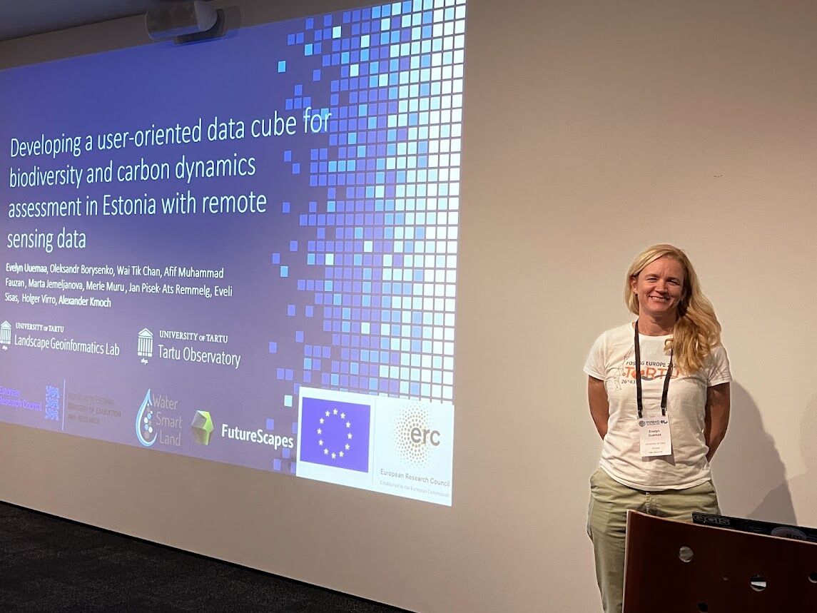
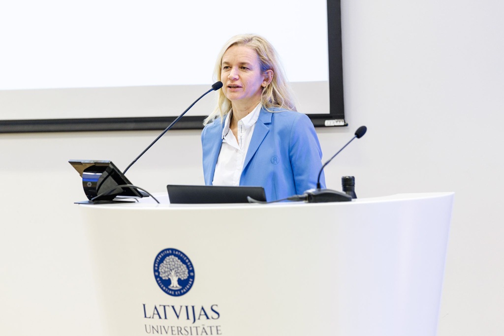
On 14 April 2026, the WaterSmartLand project was represented at the University of Latvia’s 84th International Scientific Conference, where a keynote presentation by Evelyn Uuemaa was delivered on the topic “From excellence to impact: designing research that matters?

The keynote drew on experiences from the ERC Consolidator Grant WaterSmartLand and the Centre of Excellence in Sustainable Land Use, focusing on how research impact is shaped already at the stage of defining research questions. The presentation emphasised that impact is not an add-on at the end of a project, but an integral part of research design that influences who the results may matter to.

Continue reading
Advances in Spatial Machine Learning Workshop Held in April 2026

Advances in Spatial Machine Learning Workshop Held in April 2026

On 9–10 April 2026, we hosted the second Advances in Spatial Machine Learning workshop, bringing together leading researchers to discuss current challenges and emerging directions in the field.

The two-day event focused on open questions in spatial machine learning, including model validation, preservation of spatial patterns, explainable AI (xAI), and common methodological pitfalls. Participants also explored recent developments such as foundation models and discrete global grid systems (DGGS).

The workshop provided a collaborative and discussion-oriented environment, encouraging exchange of ideas across disciplines and highlighting key areas for future research. It also contributes to advancing the spatial machine learning modelling approaches used in the WaterSmartLand project.

Continue reading
Visiting New Zealand Bioeconomy Institute and Earth Sciences New Zealand to discuss our work on DGGS and water quality modelling

Visiting New Zealand Bioeconomy Institute and Earth Sciences New Zealand to discuss our work on DGGS and water quality modelling

In the end of November 2025 Evelyn Uuemaa and Alexander Kmoch visited the New Zealand Institute for Bioeconomy Science Limited (formerly Manaaki Whenua Landcare Research) in Palmerston North.

It was great to explore ways to enhance the efficiency of geospatial data use in environmental research, and we had productive discussions on how to use Discrete Global Grid Systems for mapping and analysing different environmental phenomena.

Alexander Kmoch presenting DGGS.

Continue reading
Attending FOSS4G and New Zealand Hydrological Society Annual conference

Attending FOSS4G and New Zealand Hydrological Society Annual conference

From November 17 to 23 Evelyn Uuemaa and Alexander Kmoch participated at the global FOSS4G Conference 2025 (Free and Open Source Software for Geospatial) in Auckland, New Zealand.

At the conference Evelyn and Alexander gave a presentation on the data cube concept, developed under the WaterSmartLand project with the title “Developing a user-oriented data cube for biodiversity and carbon dynamics assessment in Estonia with remote sensing data”.


In addition, Alexander gave a workshop on the topic of “Hands-on DGGS and OGC DGGS-API with DGGRID and pydggsapi Workshop”.

Continue reading
Exploring Soil and Water with Students: Hands-On Workshops in Tartu Mart Reiniku School

Exploring Soil and Water with Students: Hands-On Workshops in Tartu Mart Reiniku School

In October and November 2025, our project team hosted three interactive workshops as part of our educational outreach for WaterSmartLand. Minna Ots and Merli Neito from the project team together with Marili Sell from the Root Ecology Lab of the University of Tartu were welcomed to Tartu Mart Reiniku school to explore the fascinating world of soil and water with 6th-grade students.

Although our project primarily focuses on water, we decided to bring another vital element into the spotlight—soil. Why? Because water and soil are deeply interconnected, and understanding this relationship is key to appreciating how ecosystems and the environment function. Our workshop demonstrated how water interacts with different soil types and how vegetation can influence this process.

Continue reading
OGC API - DGGS published as an official OGC standard

OGC API - DGGS published as an official OGC standard

In the WaterSmartLand project, we’re exploring how Discrete Global Grid Systems (DGGS) can revolutionize large-scale hydrological modeling, making it more efficient, spatial representative and avoiding distortions and constraints that come with typical map projections when building data cubes.

Our collaboration with the leading implementers, developers and scientists on DGGS has led to the specification and development of a webservice that understands DGGS. This work is now recognized as the OGC API - DGGS standard, which is essential for enabling effective communication and functionality across different software systems.

Continue reading