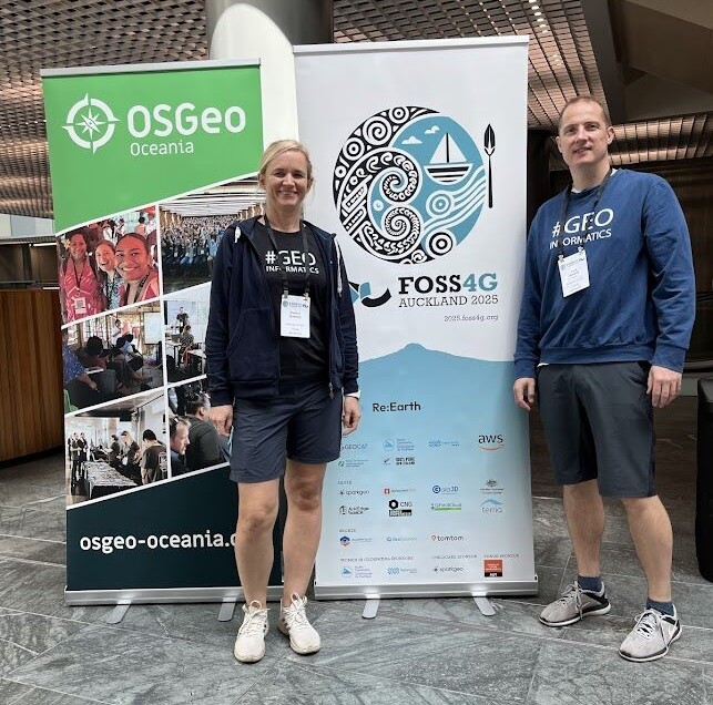
From November 17 to 23 Evelyn Uuemaa and Alexander Kmoch participated at the global FOSS4G Conference 2025 (Free and Open Source Software for Geospatial) in Auckland, New Zealand.
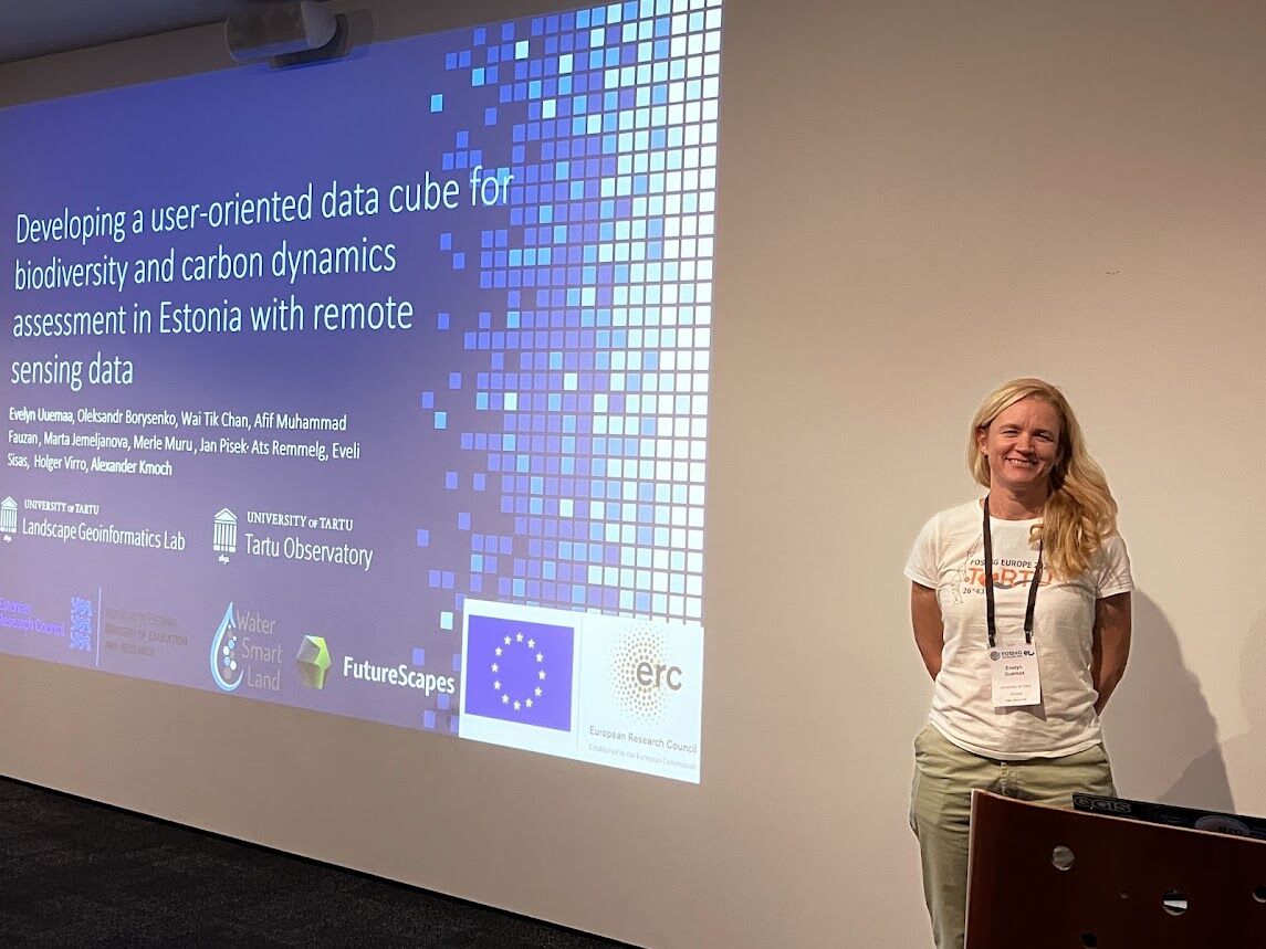
At the conference Evelyn and Alexander gave a presentation on the data cube concept, developed under the WaterSmartLand project with the title “Developing a user-oriented data cube for biodiversity and carbon dynamics assessment in Estonia with remote sensing data”.
In addition, Alexander gave a workshop on the topic of “Hands-on DGGS and OGC DGGS-API with DGGRID and pydggsapi Workshop”.
During the 5 days of conference both Evelyn and Alexander were able to hear talks about new technologies in the geospatial field, as well as exciting updates on existing ones and also create new connections.
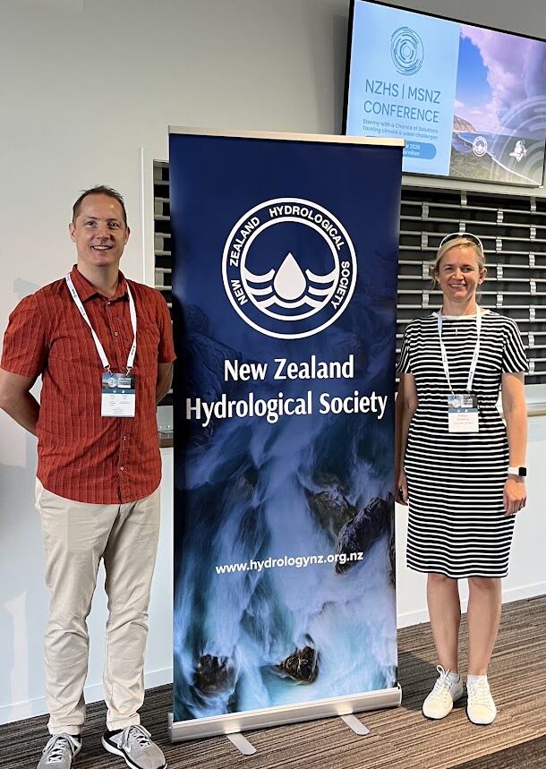
From 2 to 5 December Evelyn and Alex also participated at the New Zealand Hydrological Society's annual conference in Hamilton.
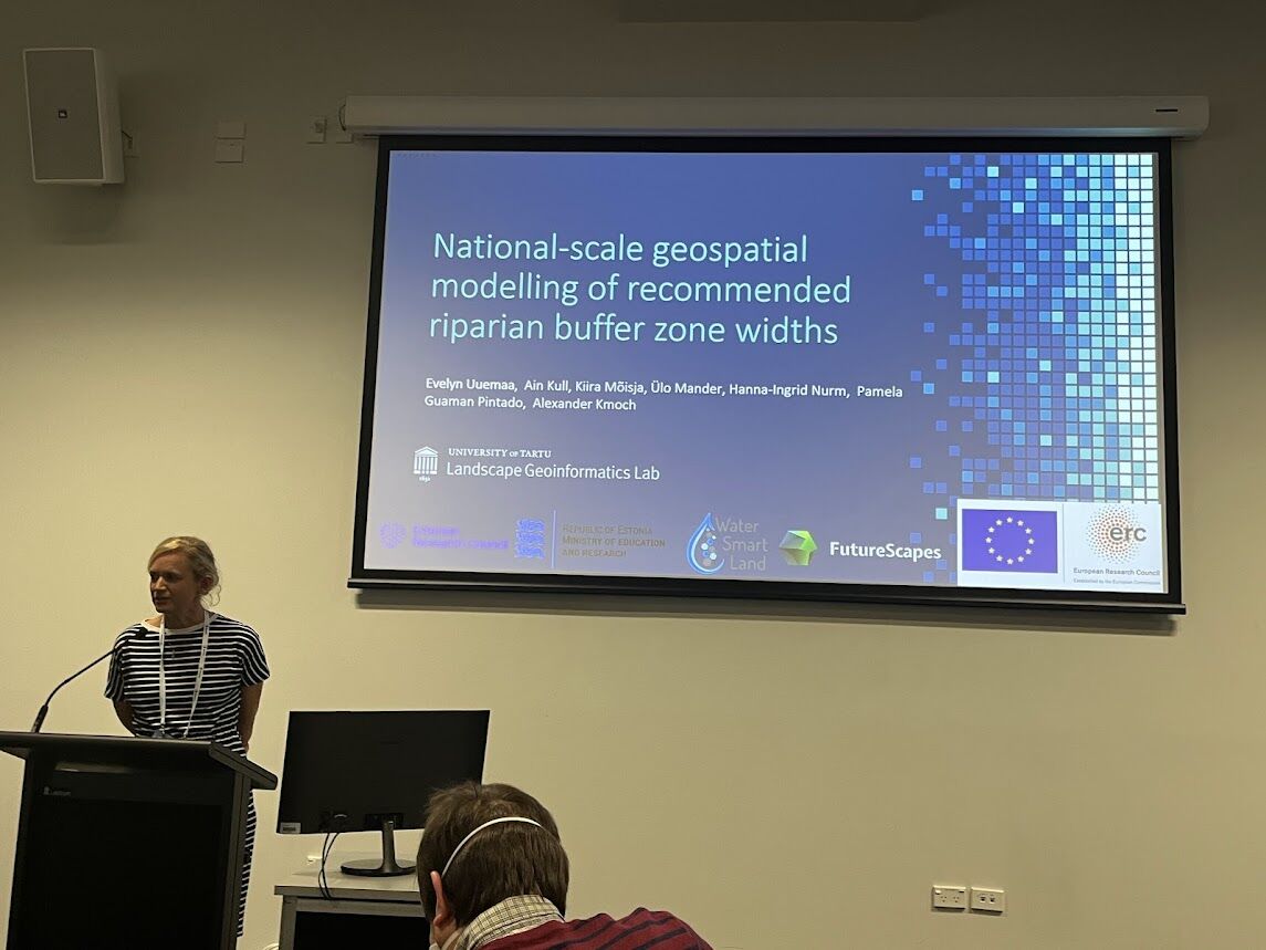
Evelyn presented the team’s work on mapping the optimal width of riparian buffer strips at the national level using geospatial modelling and identifying suitable areas for in-stream wetland placement. The work was developed under our European Research Council funded WaterSmartLand project.
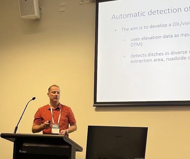
Alexander presented work on detecting drainage ditches using deep learning.
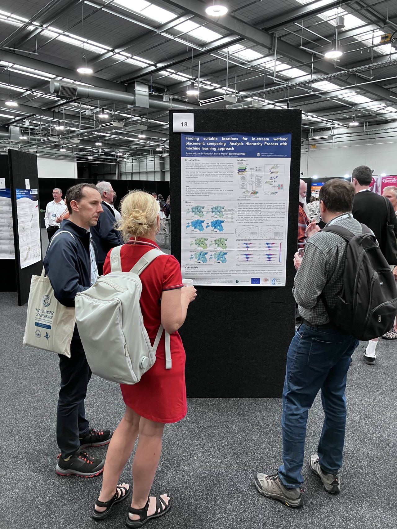
In addition, a poster based on our PhD student’s Pamela Maricela Guaman Pintado’s research “In-stream wetland suitability mapping using Analytic Hierarchy Process and machine learning” was presented for the conference participants.
It was inspiring to see how our team’s research in geoinformatics relates to and would be useful for sustainable practices in water management in New Zealand.