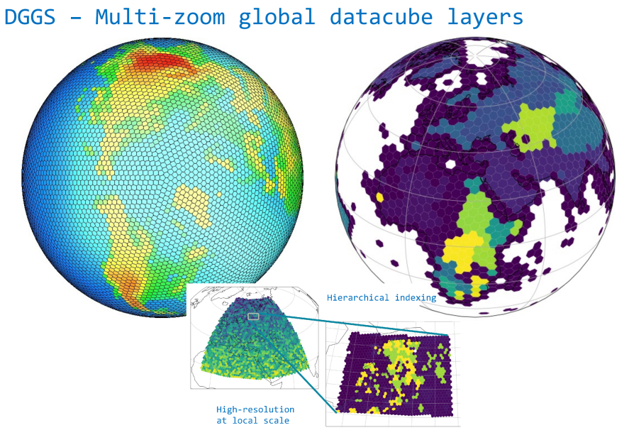
Estonian Research Excellence Showcase: ERC Grants Across the Years
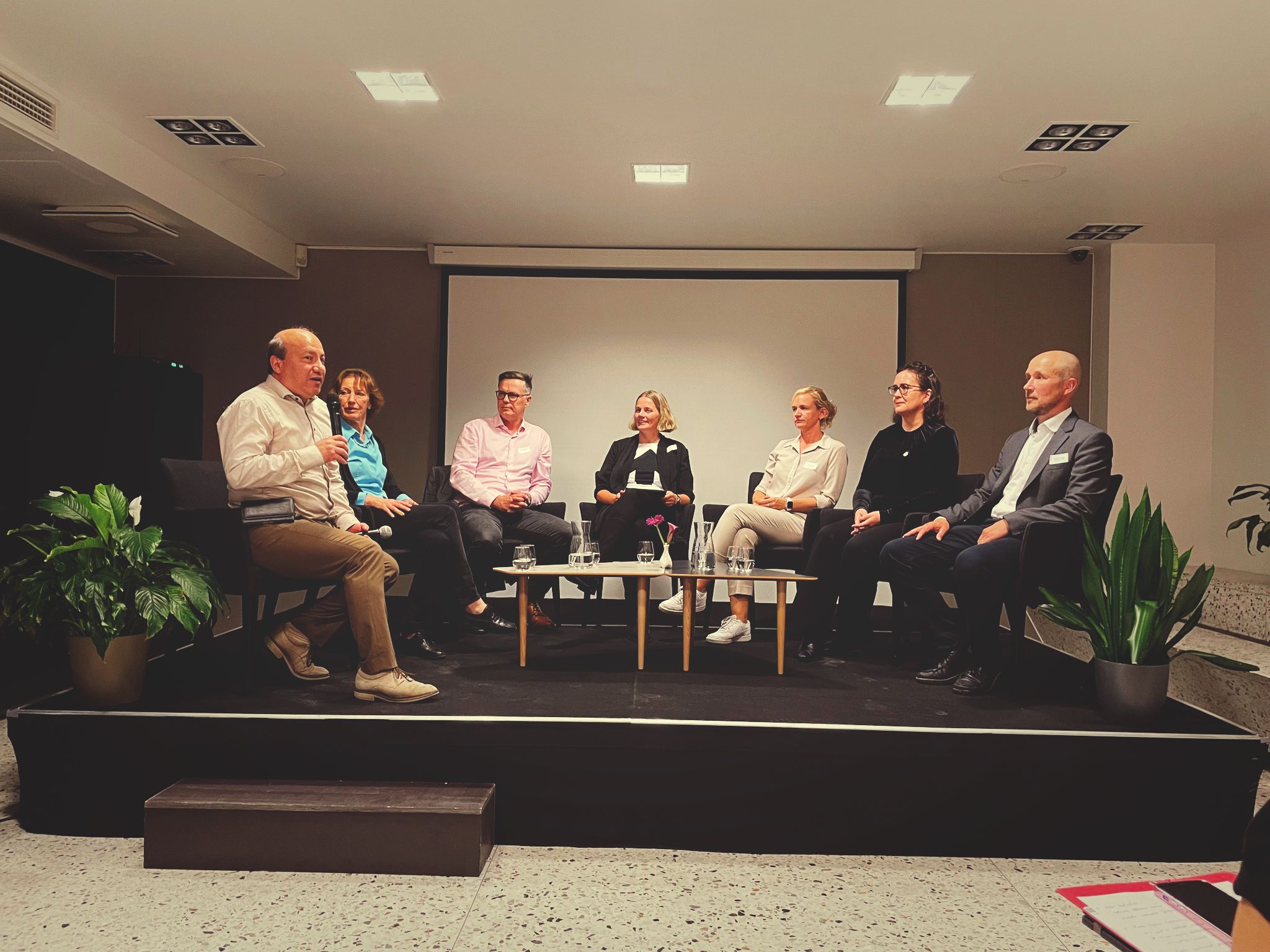
Principal Investigator of WaterSmartLand - Evelyn Uuemaa - was honoured to attend the opening of the “Estonian Research Excellence Showcase: ERC Grants Across the Years” exhibition in Estonian Embassy in Brussels organised by Estonian Research Council (ETAG) in September 2024.
She participated in an exciting panel discussion with Marlon Dumas, Maria Leptin, Jaan-Olle Andressoo, Ester Oras, Tiina R., and Tambet (Tom) Teesalu. She had a great opportunity to meet the Director of European Research Council (ERC) Maria Leptin in person (picture below).
Continue reading