Latest news

Read more about our activities

ERC grant writing workshop in Latvia

ERC grant writing workshop in Latvia

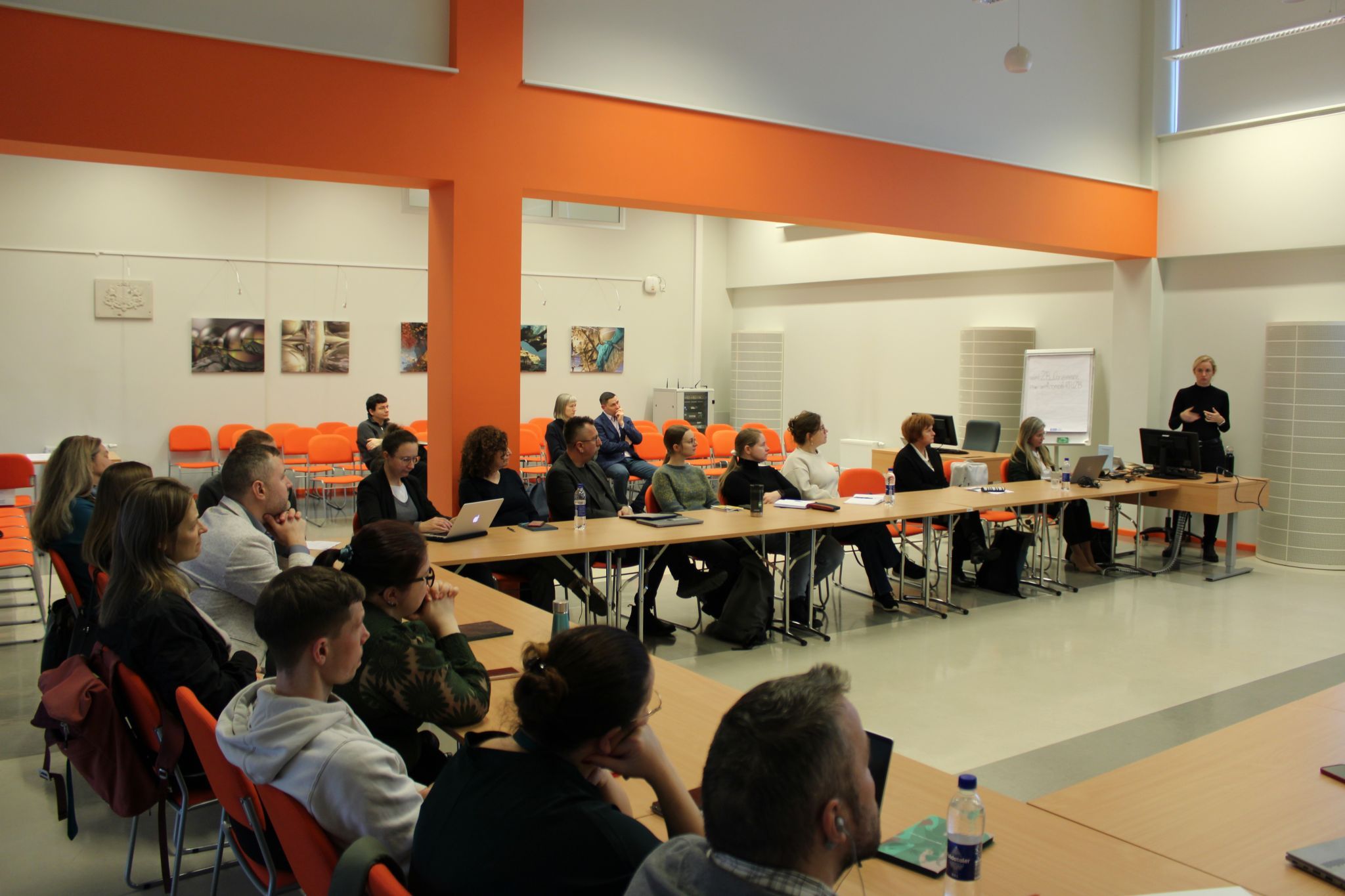
In the beginning of December 2024 Prof. Evelyn Uuemaa had the privilege of participating in a workshop on European Research Council (ERC) grant writing, organized by the Latvian Research Agency (Apvārsnis Eiropa Latvijas Nacionālais kontaktpunkts).

During the event, Prof. Uuemaa shared her expertise with attendees, offering valuable tips for creating successful applications and preparing for the evaluation interview. Workshops like these play a vital role in supporting researchers on their journey to securing competitive research funding.

Continue reading
Presenting DGGS at the 130th OGC meeting in Seoul

Presenting DGGS at the 130th OGC meeting in Seoul

Our team members Alexander Kmoch and Wai Tik Chan participated at the 130th Open Geospatial Consortium (OGC) meeting in Seoul in the beginning of November 2024 and presented updates regarding our opensource DGGS server there.

We are excited to contribute to the OGC DGGS API standard through our novel DGGS datacube European Research Council project.

DGGS serves as the backbone of integrating geospatial data for various purposes. This increases the need for a DGGS API standard to facilitate communication between providers and clients.

Continue reading
Estonian Research Excellence Showcase: ERC Grants Across the Years

Estonian Research Excellence Showcase: ERC Grants Across the Years

Principal Investigator of WaterSmartLand - Evelyn Uuemaa - was honoured to attend the opening of the “Estonian Research Excellence Showcase: ERC Grants Across the Years” exhibition in Estonian Embassy in Brussels organised by Estonian Research Council (ETAG) in September 2024.

She participated in an exciting panel discussion with Marlon Dumas, Maria Leptin, Jaan-Olle Andressoo, Ester Oras, Tiina R., and Tambet (Tom) Teesalu. She had a great opportunity to meet the Director of European Research Council (ERC) Maria Leptin in person (picture below).

Continue reading
XDGGS: A community-developed Xarray package to support planetary DGGS data cube computations

XDGGS: A community-developed Xarray package to support planetary DGGS data cube computations

During the FOSS4G Europe 2024 Conference on 3 July Alexander Kmoch presented his manuscript on XDGGS. Recording of the presentation can be accessed here or below.

Traditional map projections introduce distortions, especially for global data. Discrete Global Grid Systems (DGGS) offer an alternative by dividing the Earth into equal-area grid cells at different resolutions.

This paper describes xdggs, a new Xarray extension that simplifies working with DGGS. Xdggs provides a unified API for various DGGS libraries and integrates seamlessly with the Pangeo ecosystem through extending the widely used Xarray library to use the DGGS-specific cell identifiers as an index. This development makes DGGS more accessible and will lead to facilitating data analysis on a planetary scale.

Continue reading
About the project

About the project

The European Research Council (ERC) has awarded Evelyn Uuemaa, Professor of Geoinformatics at the University of Tartu, the Consolidator Grant to develop models based on remote sensing data and machine learning that will enable both farmers and policymakers to plan nature-based solutions in the landscape to mitigate the negative environmental impact of intensive agriculture.

The rapid growth of the world’s population has increased the demand for intensive agriculture. Unfortunately, this often comes with negative environmental impacts. This is why more and more people are looking for new ways of sustainable agriculture, where the environmental impact is reduced as yields increase. Nature-based solutions, such as wetlands and riparian buffer strips along watercourses, can effectively reduce nutrient (nitrogen and phosphorus) runoff from agricultural catchments. However, it is neither economically viable nor, in most cases, naturally feasible to establish them throughout the landscape. It is therefore important to identify priority areas in the landscape when planning nature-based solutions, making smart use of spatial data.

Continue reading